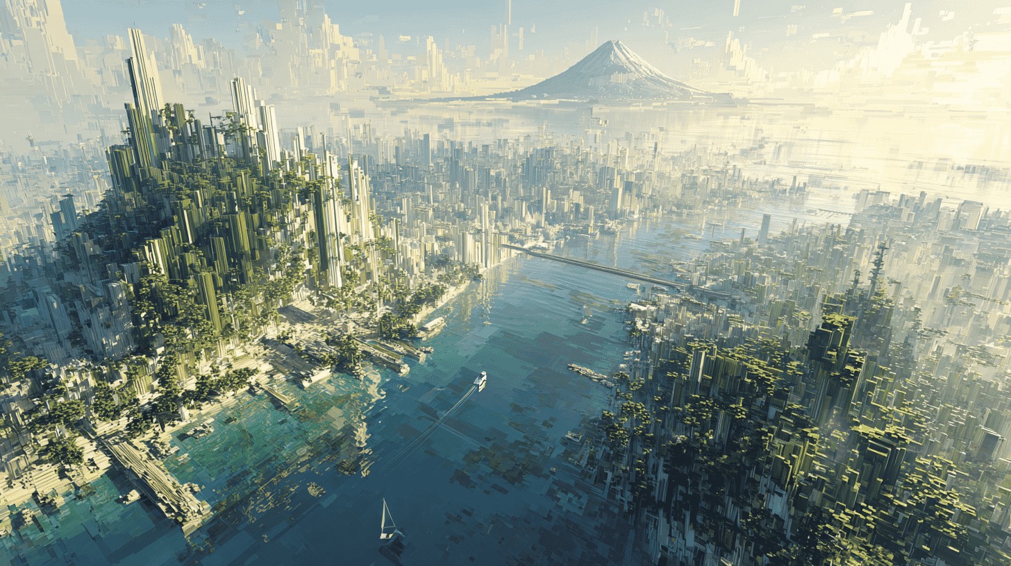
🌊 What if you could walk the deepest place on Earth, in Minecraft? On May 12, 2026, the Japan Coast Guard quietly dropped a free Minecraft world built from real bathymetric survey data, letting players hike across Japan's seafloor from Tokyo Bay all the way down to the 10,920-meter Challenger Deep at the bottom of the Mariana Trench. No mods, no third-party tools, just a download link on a government website.
It's the kind of thing you'd expect from a niche YouTuber, not a 78-year-old maritime law enforcement agency. But that's exactly what makes this story fun.
What the Japan Coast Guard actually published
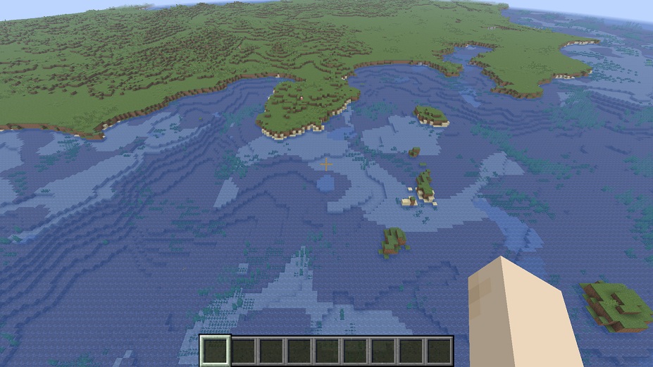
The Hydrographic and Oceanographic Department of the Japan Coast Guard (JCG), the same outfit that produces nautical charts and surveys earthquake-prone seafloor regions, released two Minecraft world files on its official website. There's a 214MB Java Edition version (verified on Minecraft 1.21.11) and a 226MB Bedrock Edition (.mcworld file, verified on version 26.3). Both are completely free.
www1.kaiho.mlit.go.jp
The release was timed to coincide with "Marine Safety Day" (海上保安の日), a Japanese commemoration held every May 12 to mark the day in 1948 when the Coast Guard's official flag was first raised. This year, instead of issuing the usual press releases about rescue statistics, the agency leaned into a gamer-friendly outreach play.
When you load the world, you spawn near Tokyo. Head south and you'll walk past the Izu-Bonin island chain, including Nishinoshima, a real volcanic island that has been actively growing through eruptions for the past decade. Keep going south, and the seafloor drops away into the Mariana Trench.
The agency even published handy teleport coordinates for the two showcase locations:
- Challenger Deep (the deepest point):
tp @s 2159 39 3863 - Nishinoshima (active volcanic island):
tp @s 1988 66 2276
Why this is surprisingly fitting
Here's a detail most international outlets are missing: it was the Japan Coast Guard that first measured the depth of the Challenger Deep.
Back in 1984, the Japanese survey vessel Takuyo used a sea-beam echosounder to record what was then the deepest known measurement of the Mariana Trench. Subsequent JCG-supported surveys aboard the R/V Kairei in 1998, 1999, and 2002 refined the data using multibeam echosounders and differential GPS, eventually establishing the now-accepted depth of approximately 10,920 meters.
So when Japanese players teleport to coordinate 2159 39 3863 and look around, they're not standing in a fictional location. They're standing in a blocky reconstruction of seafloor that Japanese hydrographers literally invented the modern measurements for.
The JCG's day job involves surveying for nautical safety, defining Japan's maritime boundaries, and supporting earthquake research. Japan sits at the intersection of four tectonic plates, and seafloor geodesy is critical for monitoring megathrust earthquake zones along the Japan Trench and Nankai Trough. Repackaging that scientific data into a downloadable Minecraft world is a clever way to give the public a feel for what's actually under the waves around their country.
Not the first government Minecraft world, but it might be the deepest
If this sounds vaguely familiar, it should. Denmark beat everyone to the punch.
In April 2014, the Danish Geodata Agency (Geodatastyrelsen) made global gaming news by releasing a 1:1 scale Minecraft recreation of the entire country of Denmark, about one terabyte of data, built from official cadastral and elevation models. The project was framed openly as a way to use Minecraft's appeal to get young people interested in open government geospatial data. (The original servers and downloads were eventually retired around 2020, but the precedent stuck.)
Japan has built up its own quieter portfolio of government Minecraft releases. The Ministry of Land, Infrastructure, Transport and Tourism previously recreated the Metropolitan Outer Underground Discharge Channel, Tokyo's massive flood-control cathedral. The Honshu-Shikoku Bridge Expressway Company released a Minecraft version of the Akashi Kaikyo Bridge designed for studying bridge inspection work. The Coast Guard release fits comfortably into that lineage.
What makes the JCG version distinctive is the vertical range. Most government Minecraft maps focus on terrain you can see: roads, buildings, landmarks. This one is fundamentally about what you can't see: a hidden mountain range called the Shichito-Iwo-Jima Ridge, the abyssal plains, and the deepest trench on planet Earth.
A few caveats worth knowing
The JCG is upfront that this is a game, not a survey product. The dataset isn't to scale; the world is compressed both horizontally and vertically, so you're not walking a literal 1:1 representation of the Pacific. Land outside Japan is left as featureless flat terrain. And Mojang/Microsoft have not formally endorsed or partnered with the JCG on this; it's a derivative work using public data.
There's also a small access wrinkle for console players. The Bedrock world file works directly on PC and mobile, but if you want to play it on a Nintendo Switch, PS4/PS5, or Xbox, you'll need to import it via Minecraft Realms (a paid subscription service), a quirk of how Mojang restricts custom content on consoles, not anything specific to this map.
Why it works as outreach
The Japan Coast Guard has a recruiting problem, like many Japanese public-sector employers facing a shrinking working-age population. It also has a public visibility problem: most Japanese citizens couldn't tell you what the JCG actually does day-to-day beyond the dramatic rescue scenes in the Umizaru film series.
A free Minecraft world doesn't fix any of that on its own. But it does drop the agency's bathymetric data into a platform where, by some estimates, more than 140 million people are still playing monthly. It's a low-cost, high-reach way to put "the Coast Guard surveys the seafloor, and the seafloor is genuinely fascinating" into the same scroll as the latest mob update.
There's something quietly nice about a government agency saying: here's the actual shape of the ocean around us, go look at it yourself.
Try it yourself
The world files are available on the JCG Hydrographic and Oceanographic Department's official site (linked below). You'll need a legitimate copy of Minecraft (Java or Bedrock) and a few hundred megabytes of disk space. The world is designed for casual exploration: there's no quest, no boss, just terrain. Bring water-breathing potions if you actually want to walk the Challenger Deep.
In a country where many citizens have never been to a remote island, let alone the bottom of the ocean, this kind of small experiment in making national geography touchable is worth celebrating. In Japan, the Coast Guard just gave you a free trip to the deepest point on Earth. What kind of public geographic data does your country make accessible like this, and would you actually use a Minecraft version of your own coastline?



Global Discussion
13 comments