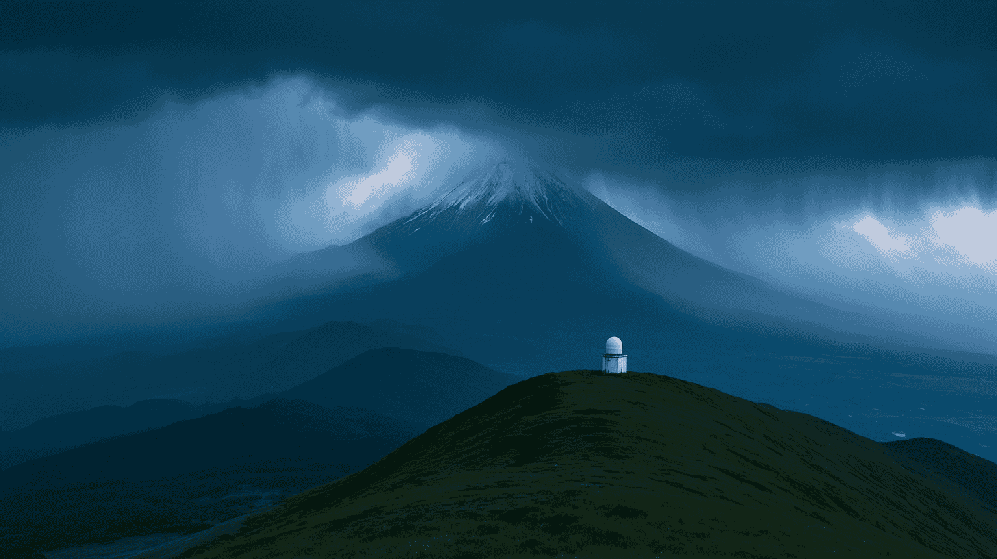
🗻 Here's something that sounds impossible: when a typhoon dumps rain on Mount Fuji, the mountain's summit physically rises by a few centimeters, then settles back down a few days later.
That's the finding from a research team at Hokkaido University, published online on April 28, 2026 in Geology, the journal of the Geological Society of America. They didn't bolt a single new instrument onto Fuji to discover it. They used satellite-positioning data that had been quietly accumulating for years, and spotted a signal nobody had been looking for.
It started with a flood, not a volcano
The discovery traces back to 2021. In July of that year, a deadly debris flow tore through the hot-spring town of Atami in Shizuoka Prefecture after days of torrential rain. A student supervised by Kosuke Heki, now a professor emeritus at Hokkaido University and a specialist in measuring how the ground moves using GNSS (Global Navigation Satellite System) data, was studying how the land around Atami shifted vertically during that flooding.
Most of the ground behaved as expected. But one data point refused to fit: a positioning station on the slope of Mount Fuji was going up while everything around it sank. That oddity stuck, and Heki's group decided to investigate the mountain properly.
What five years of satellite data revealed
The team pulled roughly five years of records from GEONET, Japan's nationwide network of GNSS ground stations operated by the Geospatial Information Authority of Japan. With around 1,300 stations spaced about 20 kilometers apart, GEONET is one of the densest geodetic networks on the planet, originally built to track earthquakes and crustal motion, not weather.
They lined up the up-and-down movement of stations near Fuji against rainfall records from the Japan Meteorological Agency's AMeDAS observation network, then looked at what happened during big rain events: typhoons, and the stalled "linear rainbands" that increasingly drench Japan in summer.
The pattern was consistent. When heavy rain hit Fuji, stations at and near the summit rose by a few centimeters. The stations that rose sit on the younger Fuji lava flows that blanket the area around the summit. Stations farther out, on the lower flanks and beyond that lava, did the opposite: they sank by a few centimeters. Once the rain stopped, both the uplift and the subsidence faded away within a few days, returning the mountain to its normal shape.
Why would rain make a mountain grow?
The two opposite movements come from two different things rainwater does.
Mount Fuji is built from stacked lava flows, and between some of those flows sit permeable layers of porous rock that water can soak into. When a storm drenches the mountain, rainwater seeps underground and fills those layers. The trapped water pushes outward, the mountain's body swells, and the summit lifts. It's less like piling weight on top and more like inflating a cushion buried inside the volcano.
Farther from the summit, beyond the reach of those lava-sandwiched aquifers, there is no cushion to inflate. There, the sheer mass of fallen rainwater simply presses down on the crust, and the ground sags. It is the same loading effect Heki's team had documented earlier for heavy rains across southwestern Japan. Fuji's unusual internal plumbing is what flips the sign from "sink" to "swell" near the top.
The catch for eruption forecasting
This is where a quirky observation turns into something genuinely useful, and slightly unsettling.
Mount Fuji has not erupted since the Hoei eruption of 1707, more than three centuries ago, and scientists broadly agree it could erupt again. One of the clearest warning signs before a volcanic eruption is inflation: as magma rises from deep underground, it swells the volcano from within. Fuji's shape is therefore monitored daily with satellite positioning, watching for exactly that kind of bulge.
The problem the new study exposes is that rain-driven inflation looks, at first glance, a lot like magma-driven inflation. Both lift the summit by a comparable amount. The researchers distinguish the two as "cold inflation," driven by rain, and the "hot inflation" that precedes an eruption. If forecasters saw Fuji's peak rise after a typhoon and didn't know about the rainwater effect, they could mistake an ordinary storm for the start of an eruption or, just as dangerously, wave away a real magma signal as "probably just the rain."
The research group argues that knowing this rain signal exists, and being able to subtract it, is now an essential part of any honest eruption forecast for Fuji. You can only see the dangerous bulge clearly once you have accounted for the harmless one.
How Japan's approach differs from the US and Europe
Volcano geodesy itself is not new. In the United States, the U.S. Geological Survey runs dedicated deformation networks bolted directly onto individual volcanoes: more than 70 continuous GNSS stations plus tiltmeters around Kīlauea and Mauna Loa in Hawaii, with smaller arrays at Mount St. Helens and other peaks. In Europe, Italy's INGV has tracked Mount Etna with permanent GNSS stations since the late 1980s, and the EPOS and EUROVOLC programs pool deformation data from "supersite" volcanoes in Iceland, Italy and beyond.
What sets the Fuji study apart is that it leaned on infrastructure built for an entirely different purpose. GEONET was never designed to watch one volcano; it blankets the whole country for earthquake monitoring and surveying. Its density was high enough, and its archive long enough, that researchers could pull a subtle volcanic-hydrology signal out of data that already existed, with no new field campaign required.
It's a reminder that not every discovery needs new hardware. Sometimes it just needs a fresh question asked of numbers that were sitting in plain sight. And it hints that other dense national positioning networks, wherever they exist, may be hiding similar stories about how their own mountains breathe with the weather.
Japan watches its most famous mountain about as closely as any volcano on Earth. How is volcanic risk monitored where you live, and would you trust the warning signs?
References
- University Journal Online: https://univ-journal.jp/997412/
- Geology (Geological Society of America): "Heavy rains inflate Mount Fuji, central Japan": https://pubs.geoscienceworld.org/gsa/geology/article-abstract/doi/10.1130/G54450.1/729882/
- UHB / Yahoo! News Japan: https://news.yahoo.co.jp/articles/e5c29efa122a706bb2235f8816a3826af1dd00d1
- U.S. Geological Survey: https://www.usgs.gov/observatories/hvo/science/deformation-monitoring-tracks-moving-magma-and-faults
- EPOS Volcano Observations: https://www.epos-eu.org/tcs/volcano-observations







Global Discussion
3 comments