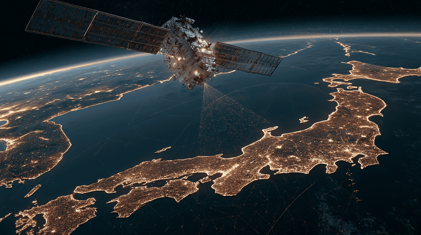
🛰️ Every time your phone drops a pin on a map, it's leaning on a system the U.S. military built and still runs. Most of the world is fine with that, right up until the moment it isn't. On August 7, 2026, Japan plans to launch a satellite that nudges it closer to navigating its own skies without American GPS at all. The catch: the rocket failure that was supposed to make this a victory lap instead knocked the whole plan a step backward.
That satellite is Michibiki No. 7, riding atop H3 Rocket No. 9 from the Tanegashima Space Center. JAXA confirmed the new date on June 15: liftoff is set for the early hours of August 7, between 4:30 and 6:00 a.m. Japan time, with backup windows running August 8-31 and September 3-30. It's a small launch with an outsized story behind it.
What Japan is actually building, and why
"Michibiki" is the friendly name for QZSS, the Quasi-Zenith Satellite System, run by Japan's Cabinet Office. It speaks the same language as GPS, so your phone already uses it without you noticing. But it isn't a global network like GPS. It's regional, tuned specifically for Japan and the wider Asia-Pacific.
The clever part is the orbit. A few of the satellites fly a looping path that keeps them parked high overhead Japan for hours at a stretch, near the zenith, hence the name. That matters more than it sounds. In a city like Tokyo or Osaka, signals from satellites low on the horizon get swallowed by skyscrapers; in the mountains, ridgelines do the same thing. A satellite sitting almost straight up can punch its signal down into those canyons where GPS struggles.
For years, Michibiki was billed as a helper, a way to sharpen GPS over Japan rather than replace it. Four satellites went into service in 2018. But four is the bare minimum to fix a position at all, and if one drops out, you lose the fix entirely. So in practice, Michibiki alone couldn't carry the load. Your device still needed GPS riding alongside it.
That's the gap Japan is trying to close. The Cabinet Office wants a constellation big enough that Michibiki can stand on its own over Japanese territory, what it calls "sustainable positioning." If GPS were ever jammed, degraded, or switched off in a crisis, Japan's cars, farm equipment, delivery fleets, and emergency services could keep finding themselves anyway. Near conflict zones, GPS jamming and spoofing have become routine. Owning your own positioning is no longer a luxury.
The magic number is seven
Getting there is mostly a numbers game. With the old four-satellite setup, a receiver in Tokyo typically saw one Michibiki satellite overhead plus the lone geostationary one, not enough on their own, so it still had to borrow two or more GPS satellites to complete the math. Bump the constellation up to seven, and the picture changes: Japan would have four or more Michibiki satellites in view at all times. Four is the threshold where a receiver can solve position without outside help.
So seven is the line where "helper" becomes "self-sufficient." Eleven, the longer-term goal Japan has already started designing for, adds margin on top: spares for when a satellite fails, plus wider coverage and steadier accuracy.
How Japan stacks up against GPS, Galileo, and BeiDou
There are roughly 130 working navigation satellites in orbit right now across the four global systems, and a flagship phone typically listens to all of them at once.
GPS is still the backbone, with about 31 active satellites and worldwide coverage dating to the mid-1990s. On its own it places you within a few meters, tightening to around a meter with a dual-frequency receiver. It's also, notably, operated by the U.S. Space Force.
Europe's Galileo is the civilian counterpoint, run by a space agency rather than a military, with roughly 30 satellites. Its free High Accuracy Service, switched on in 2024, delivers about 20-centimeter accuracy, the sharpest open civilian signal anywhere. China's BeiDou is the heavyweight by sheer count, with 40-plus satellites and a hybrid orbit design that makes it especially strong across the Asia-Pacific, Japan's own neighborhood. Russia's GLONASS rounds out the four with around 24 satellites and a particular strength at high latitudes.
Against that lineup, Japan's six (soon) satellites look modest. But the comparison misses the point. The other four are trying to cover the whole planet; Michibiki is trying to make sure one country can always find itself. Different job, different scorecard.
Getting your phone from ten meters to one
The satellite launching in August carries something the older Michibiki craft don't: a demonstration antenna for a JAXA system called ASNAV (Advanced Satellite Navigation System). It's the part of this story most likely to touch your daily life.
A positioning fix is only as good as the satellite's own knowledge of where it is and what time it is. Tiny errors there ripple straight down into your location. ASNAV is designed to attack that in two ways. The first is inter-satellite ranging (ISR): the satellites measure the distance to each other directly, each one acting as a monitoring station in space for the others. The second is satellite-to-ground ranging (PRECT), trading two-way signals with ground stations to pin down timing and cancel out errors the old one-way method couldn't catch.
The payoff, according to JAXA: if every Michibiki satellite eventually carries ASNAV, an ordinary receiver, the kind in a regular smartphone with no special antenna or correction service, could see its accuracy improve from today's 5-to-10 meters down to roughly 1 meter. That's the difference between "somewhere on this block" and "this side of the street." It's a separate track from the centimeter-level precision Japan already offers surveyors and self-driving cars through its CLAS augmentation service. CLAS squeezes positioning error down to a few centimeters, but it needs compatible, higher-end gear. ASNAV is about lifting the floor for everyone else.
For now it's still a demonstration, and the plan was to fly it on satellites 5, 6, and 7 before any wider rollout. That plan took a hit, for reasons covered below: the transmitter for the inter-satellite ranging link flew only on No. 5, and in June 2026 JAXA's positioning team acknowledged that half of the demonstration is off the table. The near-term work narrows to how much accuracy the ground-ranging side can deliver on its own. The one-meter phone is a promise, not a product.
The stumble before the independence
Here's where the victory lap fell apart. The plan was tidy: launch satellites 5, 6, and 7, and the seven-satellite constellation would be complete. No. 6 went up in February 2025 and entered service that July. No. 5 was supposed to follow in December 2025.
It never made it. On December 22, H3 Rocket No. 8 lifted off from Tanegashima with Michibiki No. 5 aboard, and the second burn of its upper-stage engine failed to build thrust and shut down early. The satellite never reached orbit. Later analysis indicated it had already come off the rocket at first-stage separation and fallen inside the predicted drop zone, while the second stage reentered within hours; no third-party damage was reported. Investigators traced the failure to a manufacturing flaw. The honeycomb panel of the payload support structure that carries the satellite had developed a delamination between its carbon-fiber skin and aluminum core during manufacture. It spread in flight, the shock of fairing separation buckled the adapter, and the satellite fell with it toward the second stage's liquid hydrogen tank, breaking a line, dropping tank pressure and disrupting combustion. In April 2026, JAXA concluded that this chain was very likely the main cause. The three new satellites had cost roughly 100 billion yen (about $620 million) to build between them. One of the three was now gone.
That's why August's launch carries weight beyond a routine mission. H3 No. 9 will be the first to fly with the redesigned bonding on that adapter, the actual fix for what doomed No. 8. (H3 No. 6 flew successfully on June 12, but with a lightly loaded, patched-up version of the old part, partly to confirm the diagnosis.) And here's the honest footnote the headlines tend to skip: because No. 5 was lost, Japan currently flies five operational satellites, and putting No. 7 into orbit brings that to six, not seven. The independence milestone everyone's been counting toward slips until a replacement for No. 5 can be built and flown.
When No. 5 was lost, Japan's minister of state for space policy, Kimi Onoda, said in a formal statement that the priority was to launch No. 7 as soon as possible and to keep pushing toward the full seven-satellite system, with stronger backup and the eleven-satellite plan in view. So August 7 isn't quite the finish line. It's the country getting back on its feet after an expensive fall.
Most of the world quietly runs on a few positioning systems built by superpowers, and barely thinks about it until the signal drops. Japan decided that wasn't good enough for its own soil. Does your country lean entirely on GPS? Or is it building, or borrowing, something of its own?
References
- https://sorae.info/space/20260615-h3f9.html
- https://www.jaxa.jp/press/2026/06/20260615-1_j.html
- https://qzss.go.jp/ (QZSS, Cabinet Office of Japan)
- https://www.nikkei.com/article/DGXZQOSG24BWC0U5A221C2000000/ (Nikkei)
- https://orbitalradar.com/navigation-constellations (GNSS constellation comparison)






Global Discussion
0 comments